
Hightown and the Alt Estuary: A Coast Under Pressure

Overview
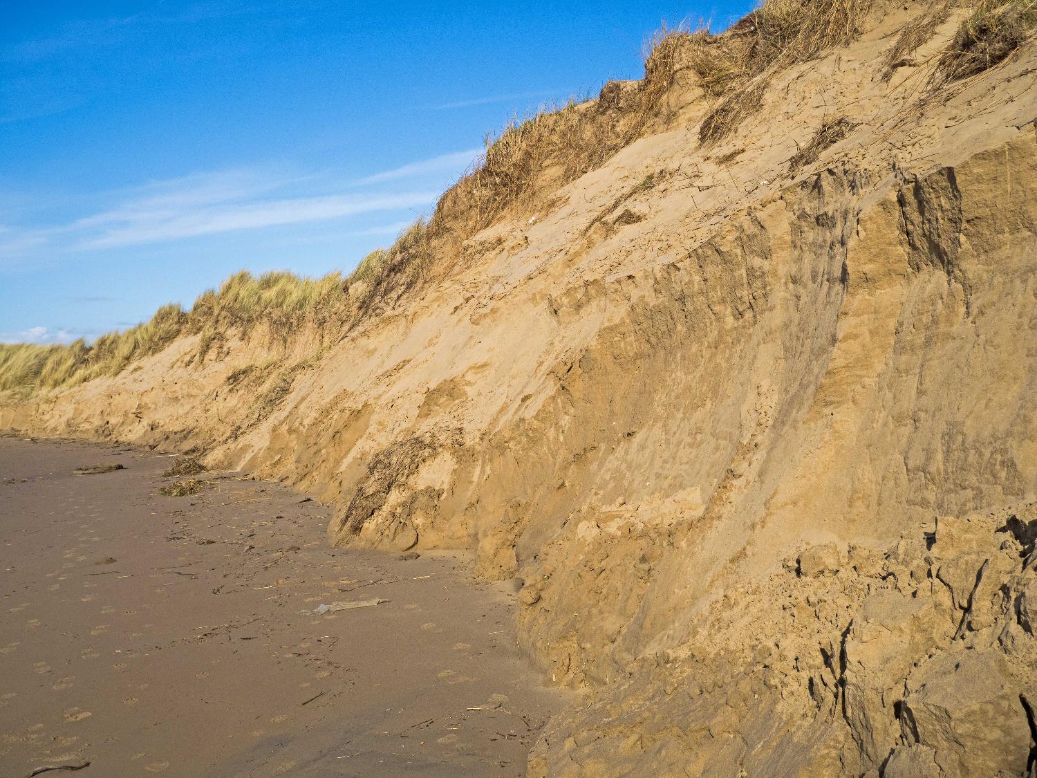
The Hightown frontage is one of the most physically constrained parts of the Sefton Coast. Coastal change here is shaped not only by tides and waves but also by the behaviour of the River Alt and a long history of human intervention, including channel diversions, training walls and past sand extraction. These changes have reduced the amount of sand reaching the dunes and increased their exposure to erosion.
Erosion and Coastal Change
Hightown experiences some of the highest erosion rates on the Sefton Coast, with long‑term monitoring showing an average retreat of around 3.7 metres each year.
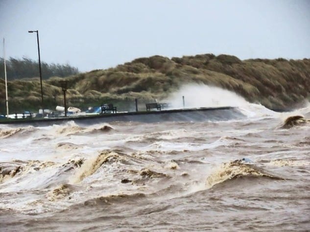
Storms can greatly accelerate this, removing large amounts of sand in a single tide—particularly where the dunes are already low or broken.
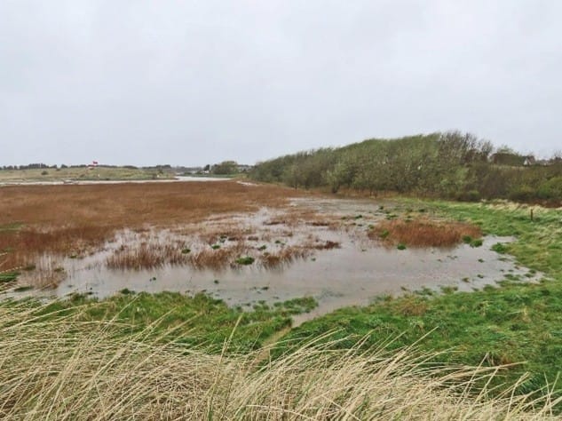
In spring 2024, Storm Kathleen caused severe erosion between Hall Road and Hightown, removing several metres of the frontal dunes and flooding reedbeds and inland habitats. Key infrastructure, such as a sewage pipeline and sections of the coastal path, is now under increasing risk. Future solutions will require both nature‑based approaches and carefully designed engineering.
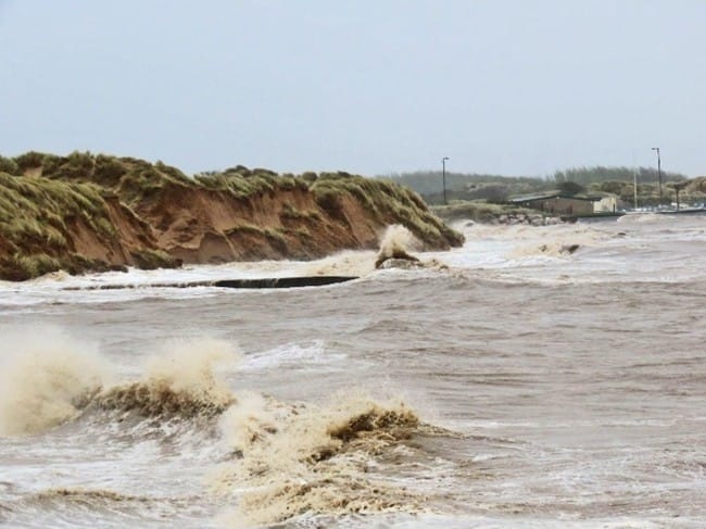
Photo credit: Ian Wolfenden
The Rubble Beach
Between Hightown and Hall Road lies Sefton’s only shingle‑type beach, created when rubble was deposited here during post‑Second World War clean‑up works.
Today it is a Priority Habitat and one of the few examples of this habitat type in North West England. While the rubble acts as an informal sea defence, it also raises health and safety concerns due to the mix of old building materials present. Erosion here is generally slow but can increase sharply during storm events.
Dunes, Sediment and Habitat Change
From Hightown northwards to Ainsdale, the coast is lined by a continuous dune system. However, the Hightown section remains the most vulnerable due to altered sediment flows.
A slow northward drift moves rubble onto the beach, while the River Alt blocks sand moving south and captures wind‑blown sand, leaving the dunes starved of new material.
Some parts of the shoreline are gaining sand, allowing natural dune rollback and the formation of small slacks and scrapes that help support wildlife. But other areas are eroding, exposing important historic features such as the submerged prehistoric forest and ancient trackways, which are lost quickly once revealed.
Wildlife and Habitat Pressures
Natural dune movement is restricted by nearby infrastructure, including the sailing club, rifle range and existing flood defences. Limited movement of sand and water affects the formation of wet slacks, which are vital for species such as:
- Natterjack toads
- Sand lizards
- Great crested newts
- Specialist dune plants
As the dunes retreat and saltmarsh expands, generalist waders—such as redshank and curlew—benefit from the growing intertidal habitat.
Overall, Hightown is experiencing a “coastal squeeze” between rising sea levels and fixed inland boundaries, leading to a long‑term shift from dune and slack habitats towards saltmarsh.